Your smartphone is great for taking fish photos, but it's a terrible survival tool when you're five miles from the nearest cell tower and the sun is going down. A dedicated handheld GPS is built for one thing: getting you to your spot and getting you back safely. We've tested the top units to see which ones hold a signal under heavy tree cover — and which ones die in the cold.

The answer is both — but for different jobs. Your phone takes the fish pic. A GPS gets you home when the phone is dead and the cell tower is 40 miles away.
25–36 hours on AA lithium batteries. Swap cells anywhere in the world. Zero charge anxiety on a 3-day float trip.
4–6 hours with GPS active and screen on. Dead by noon on a full fishing day. No charger at the river.
IPX7 rated — submerged to 1 meter for 30 minutes. Built for rain, splashing, and that moment when it falls off the gunwale.
IP68 "water resistant" — not built for sustained dunking or heavy rain. Insurance claims for water damage are the #1 smartphone claim.
Talks directly to GPS, GLONASS, Galileo, and QZSS satellites simultaneously. No cell tower, no Wi-Fi required. Works in deep canyons and offshore.
Uses GPS satellites but degrades significantly without assisted GPS (A-GPS) from cell towers. Unreliable in dead zones, canyons, and offshore.
MIL-STD-810 rated for shock, vibration, humidity, and temperature extremes. Built to survive drops, bounces, and pocket abuse.
Drop on a rock, it's a $1,000 paperweight. Glass screens crack. Aluminum frames dent. Not built for the field.
Pre-loaded USGS Topo maps, Birdseye satellite imagery, BlueChart marine charts. Offline and accurate at 1:24,000 scale.
Google Maps and onX are excellent — but require cell service or large offline downloads. Not as detailed for backcountry as dedicated topo units.
No camera, no sharing. The GPS is a tool, not a content creation device.
The phone wins here completely. For fish photos and sharing — keep your phone, just also bring a GPS.
Carry both. Use your phone for photos, weather apps, and communication when you have signal. Use a dedicated GPS for navigation, waypoint marking, and emergency backup. The GPS weighs 5 oz and costs less than one night at a fishing lodge. The risk of not having it far outweighs the cost.
Every unit here has been used by the DU Tech Team in real fishing conditions — not just reviewed from a box.

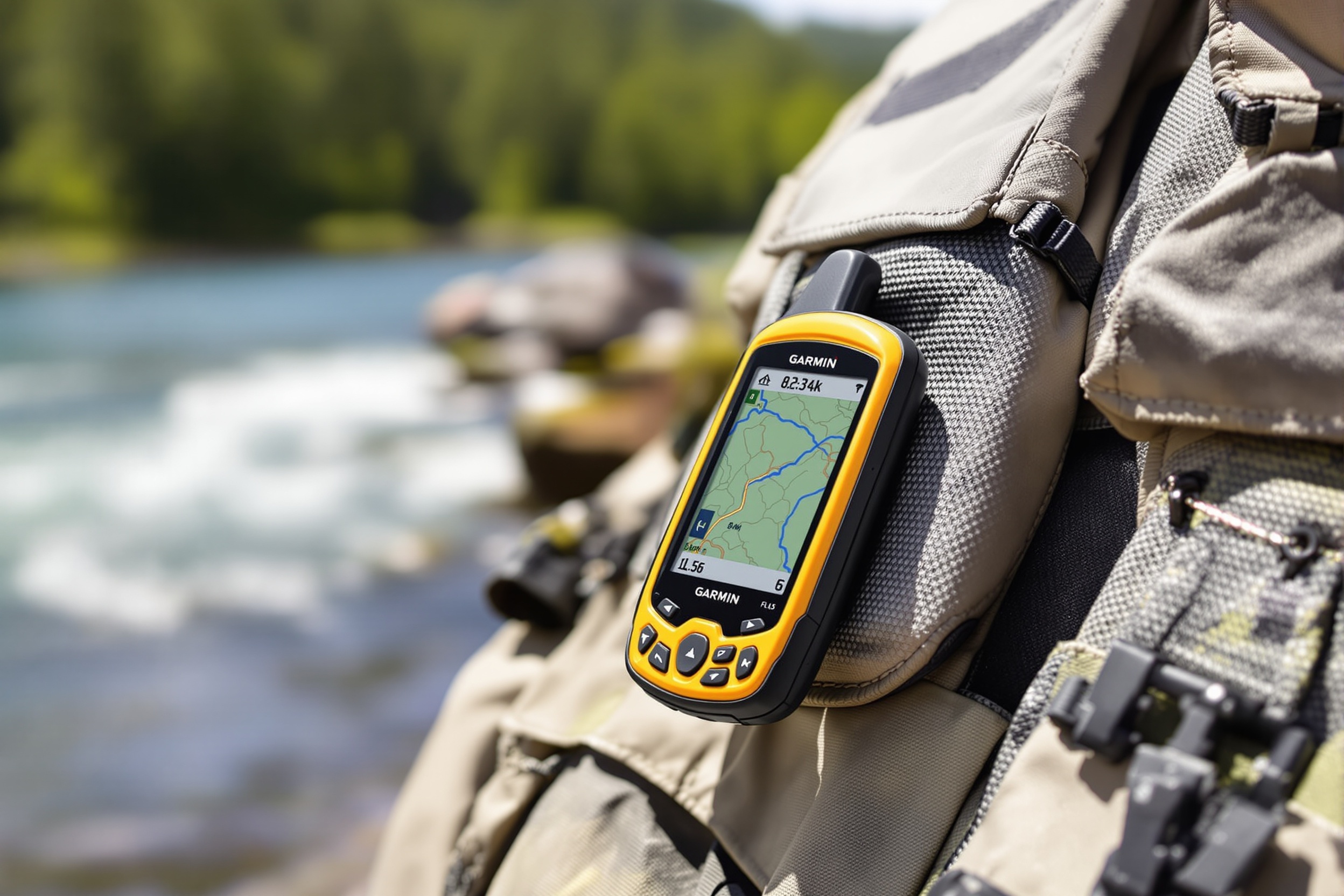
The GPSMAP 66sr is the gold standard for a reason: best satellite reception in its class, multi-band GNSS positioning accurate to under 3 meters even under dense canopy, and a screen bright enough to read in direct sunlight. The pre-loaded TopoActive US maps cover every National Forest and park where your cell signal dies instantly.
On a float trip deep in a Colorado canyon, we lost all cell service within 3 miles of the put-in. The GPSMAP held 12 satellites even at the bottom of a 400-foot canyon wall. Our phones showed 'Searching' for the entire 5-day trip.

Simple, rugged, and fits in a shirt pocket. The eTrex 22x does everything a weekend angler actually needs — mark a waypoint, navigate back to the ramp, track your route — without the complexity or price of a professional unit. This is the knife we'd hand to someone buying their first GPS.
We keep an eTrex 22x in the kayak dry bag at all times as a backup, even when we carry the GPSMAP. At 5 oz, there's no reason not to. Mark the boat ramp before you launch — every single time, without exception.

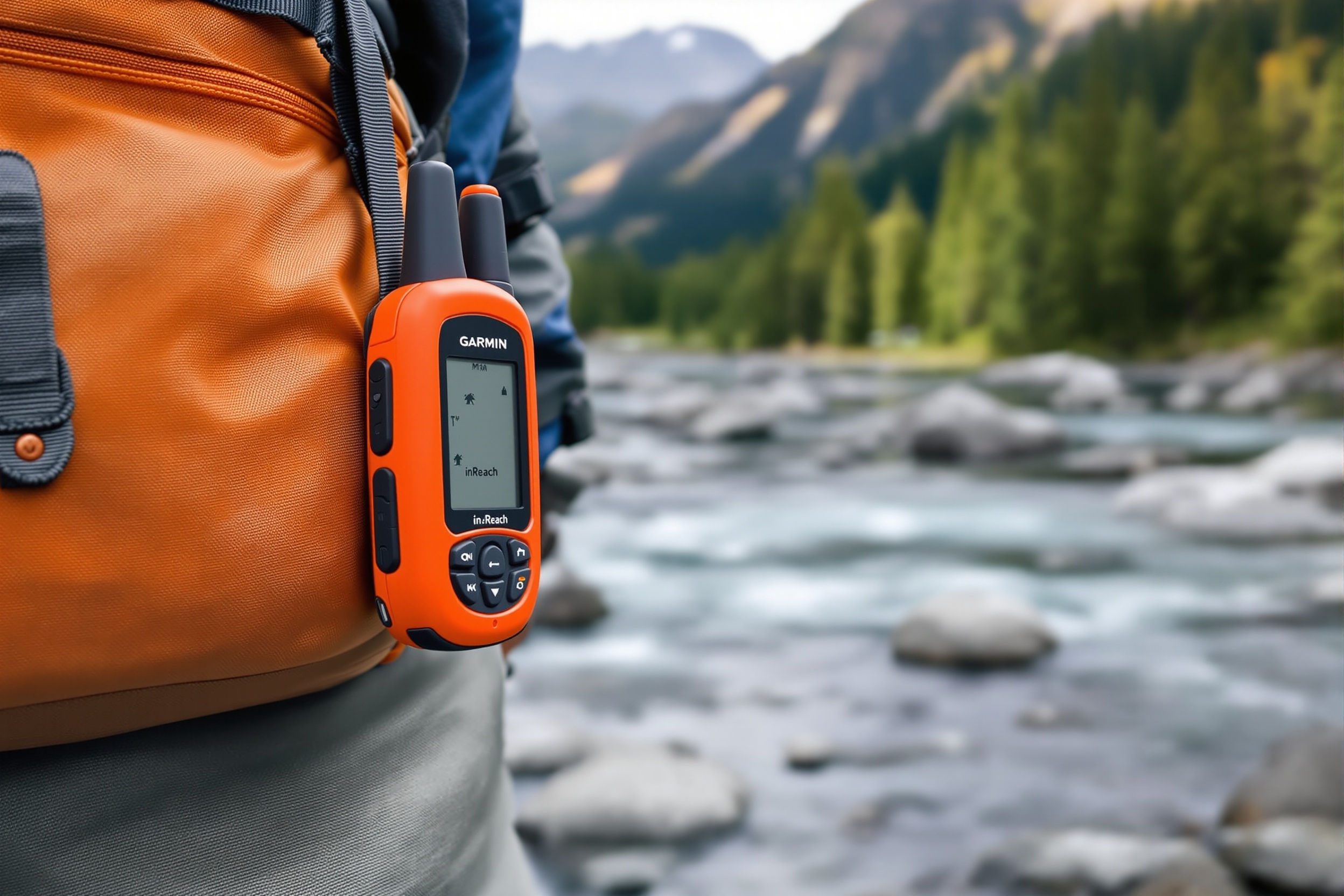
Not just a GPS — a two-way satellite messenger for when things go wrong. The inReach Mini 2 connects to the Iridium satellite network (100% global coverage) and lets you send texts, trigger an SOS to GEOS emergency response, and share your live location with family regardless of where you are on Earth.
Our team member fishing the Kenai River Peninsula in Alaska had zero cell coverage for 11 days straight. The inReach Mini was the only communication device that worked at all. His family tracked his location every 10 minutes the entire trip. Peace of mind for everyone.

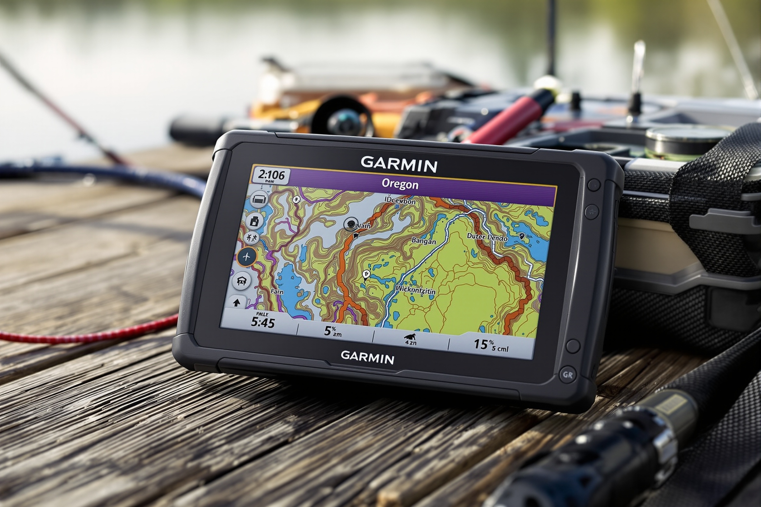
The Oregon 700 bridges the gap between a traditional GPS and a touchscreen device. If you struggle with the button-navigation of traditional GPS units, this is your answer. The glove-friendly touchscreen works in the rain and with wet hands — a key detail for fishing conditions.
The touch interface is noticeably slower to acquire a satellite fix compared to the GPSMAP 66sr. If speed matters, go GPSMAP. If ease of use matters, the Oregon is the better pick for anglers coming from a smartphone background.
The specs that actually matter when you're standing in the middle of nowhere trying to get back to the truck.
| Model | Screen | Battery Life | Waterproof | Satellite Systems | Price | Rating |
|---|---|---|---|---|---|---|
Top Pick Garmin GPSMAP 66sr Professional / Remote | 3" Color | 16–36 hrs | IPX7 | GPS+GLONASS+Galileo+QZSS | $400–$550 | |
Garmin inReach Mini 2 Safety / Emergency | 0.9" Mono | 14–90 hrs | IPX7 | GPS+Iridium Global | $350–$400 | |
Garmin Oregon 700 Touchscreen Users | 3" Touch | 16 hrs | IPX7 | GPS+GLONASS | $280–$350 | |
Garmin eTrex 22x Beginners / Budget | 2.2" Color | 25+ hrs | IPX7 | GPS+GLONASS | $160–$200 |
IPX7 means the device withstands submersion in 1 meter of water for 30 minutes. Every GPS on this list is IPX7 rated. For reference, your flagship smartphone is usually the same — but GPS units are built to take that kind of abuse every single trip.
GNSS means the device uses multiple satellite networks simultaneously (US GPS, Russian GLONASS, European Galileo). Under heavy tree cover or deep canyon walls, multi-GNSS finds more satellites and gets a faster, more accurate fix. Always worth the upgrade.
Unlike lithium-ion packs that need USB charging, AA batteries can be found at any gas station on earth. For remote fishing, we always carry a full spare set of lithium AAs. In Colorado winters, lithium batteries perform significantly better than alkaline in sub-freezing temps.
A GPS is only useful if you use it. Most anglers buy one and only mark their honey hole. Here's the full list of waypoints every serious angler should have saved — and the order to mark them.
8 waypoints left to mark.

The biggest mistake we see is people not marking the boat ramp or their truck before they leave. Once you're on the water, everything looks the same. We always carry a spare set of lithium AA batteries — they handle the cold better than alkaline if you're ice fishing in Colorado or out on a chilly morning in Maine.
Lithium AA batteries (not alkaline) are essential for ice fishing in Colorado or early-morning trips in the Pacific Northwest. In sub-20°F temps, alkaline batteries lose 50–60% of their capacity. Lithium batteries drop only 10–15%. Keep your spare set in an inside pocket close to your body.
Show us your outdoor office on Facebook. We love seeing where the DU Tech community is fishing across the USA.
Real questions from USA anglers — answered by the DU Tech Team with actual field experience.
High-altitude Colorado lakes and rivers are GPS-essential territory — cell service disappears fast. Our guide covers the best lakes, trails, and launch points.
A GPS is on the required safety list for any rough-water boat trip. See our deep-V aluminum boat guide for Great Lakes and coastal bay fishing.
Browse all our gear categories — rods, reels, tackle, and navigation tools — organized by fishing type and budget.
A handheld GPS is one of our top gift picks for the serious angler. See all 25 picks across every budget in our 2026 gift guide.
We have 20+ years of combined experience navigating USA wilderness fishing destinations from Colorado canyons to Alaska river systems and offshore Pacific waters. Every GPS unit on this list has been carried and used in real no-cell-service conditions. Every Amazon link uses tag orgfg-20 which helps fund our continued field testing at no cost to you.
The bass are biting in Florida right now.
Spring bass spawn is on. Trick worms, creature baits, and bed-fishing tactics are working nationwide.